Major developed sites in the Green Belt

Major developed sites in the Green Belt

The land that policy forgot?

Fewer subjects in planning are more divisive than the Green Belt and how it does - or does not - affect the country’s ability to meet its development needs. Housing, and the question of whether it should be delivered on Green Belt land, has dominated the election debate (the scale of the challenge facing Labour is set out in a recent Lichfields blog) but the issue goes beyond that. The Green Belt is already ‘home’ to other developments that also deserve political and policy support to ensure they can evolve, survive and help the economy grow.
The new Prime Minister Keir Starmer has coined the phrase “grey belt” referring to the parts of the Green Belt that aren’t green – such as “disused car parks” and “dreary wasteland”. It is also reported that this could include “some green spaces with little intrinsic beauty or character”. These, he says, have potential for new housing development.
 
But over and above this, there is a wider range of developed land that can support investment with consequential benefits for local towns and the host city if there is the political will. National policy used to explicitly recognise these locations as Major Developed Sites (MDS) but this was removed by the 2012 NPPF. Without clear support, this land and its uses has been stifled by restrictive Green Belt policy that does not recognise the land’s varied characteristics and capacity to accommodate development without harming the Green Belt. This can be redevelopment for new houses but can also be for other uses, or to enable existing businesses to improve their facilities so they can remain competitive and continue delivering a range of important services.
 
Whilst there is broad guidance nationally, clearer, tailored local policy is needed to help businesses with certainty to plan for the long term future of their developed land in the Green Belt and make a positive contribution to the country’s economic performance. This Insight Focus looks at how current national Green Belt planning guidance is affecting development of local Green Belt policies and the importance for businesses to be aware of this and how they can influence the process.  


The Green Belt – some facts and figures  

The Green Belt concept gathered pace in England in the 1950s as an urban containment policy. Its purposes are today set out in the NPPF (paras 142 and 143) with its fundamental aim being to prevent unrestricted urban sprawl by keeping land permanently open. Contrary to some public perception, however, there is no requirement to deliver benefits in the land it covers. Neither should Green Belt be conflated with rolling hills and a bucolic landscape of green fields.
 
England currently has around 16,384 km2 (or 6,326 sq miles) of Green Belt land, clustered around 16 urban cores and affecting 180 Local Planning Authority (LPA) areas (including combined authorities).


This equates to 12.6% of England’s land area. Despite longstanding concerns from vocal campaigners about the threat from new development, the Green Belt actually grew by 8.6km2 between March 2022 and March 2023 as a result of land being re-designated. Indeed, since 1979, the Green Belt has grown by 56%. Since 1997[1] only 0.9% has been de-designated - a 55% net addition of Green Belt land since 1979, based on data up to 2022[2]


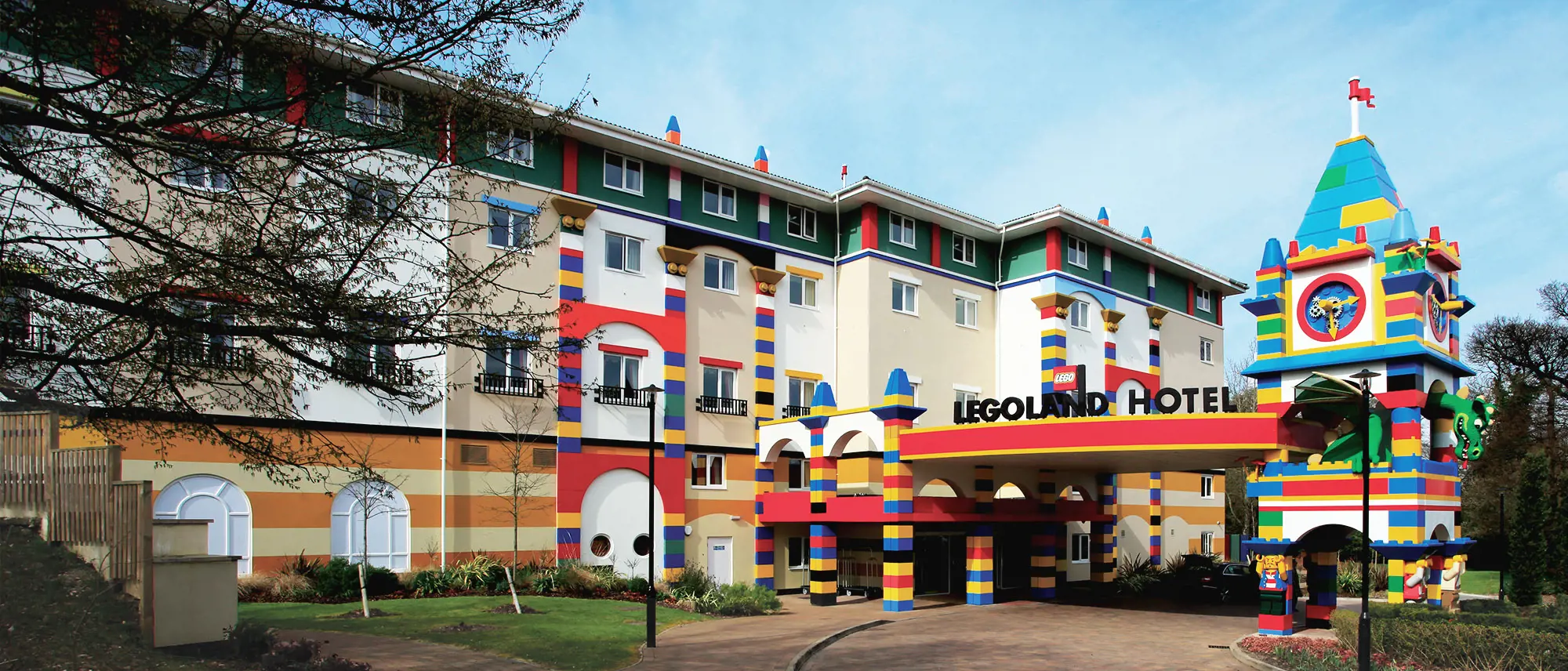
As of 2022, only 6.8% of Green Belt land was developed. 3.8% of this is for roads and other infrastructure. The other 3% - either known to Lichfields through our work for existing clients or identified through our research - includes theme parks (Chessington World of Adventures Resort in Kingston, Thorpe Park in Runnymede and Legoland in Windsor, all of whom Lichfields advise on planning matters); university campuses, colleges and schools; hospitals and other medical institutions; business parks; racecourses; airports and airfields; industrial estates; business parks; sewage treatment works; prisons; military bases; zoos; power stations; car showrooms; and petrol filling stations. This reveals a real smorgasbord of established and much needed uses. Many of these developed areas pre-date the Green Belt and have simply been ‘washed over’ by the designation since its inception. By default, they have been inhibited by the Green Belt’s strong policy constraints ever since.   


Planning policy: a little history

The Metropolitan Green Belt, encircling London, was first proposed by the Greater London Regional Planning Committee in 1935. The London Plan 1943 carried forward the concept, stating, “What happens to the countryside in London is of great importance to the County, for it forms the main place of week-end recreation for walking, bicycling, picnics etc., and for holidays of short duration. The farther London extends outwards the greater the obstacle to the inhabitant of inner London to get free of buildings and seek his recreation in the open countryside...Unfortunately a belt infers the development with buildings of the land on either side. The idea and necessary solution would be the preservation of a belt of generous dimensions around London, in which no further building other than that ancillary to farming was allowed.
 
Four years later, the Town and Country Planning Act in 1947, brought in powers that allowed local planning authorities (LPAs) to include Green Belt designations in their development plans. The codification of Green Belt policy and its extension to areas other than London came in 1955 with an historic Circular inviting more LPAs to consider the establishment of Green Belts.
 
For the decades up to 2012, including the days of the Planning Practice Guidance (PPG), the Government set out the approach that LPAs should follow in terms of how to guide development at developed sites washed over by Green Belt. In doing so, this enabled the continued use of the sites for the delivery of jobs and investment without needing to start from square one each time to demonstrate alignment with the purposes of the Green Belt. This approach took the form of defining a ‘major developed site’ boundary (MDS).
 
We believe this concept was probably piloted or invented by Lichfields via its work at Chessington Zoo in the early 1980s (now Merlin Entertainments’ Chessington World of Adventures Resort). The Government guidance set out in PPG 2 (Green Belts, 1995, Annex C) provided the details on when infilling and redevelopment of an MDS identified in a local plan could be deemed “appropriate development”. This included having regard to, inter alia, heights of existing buildings, developed portions of MDS and the character and dispersal of the proposed development and its footprint.
The PPG was clear that by LPAs identifying MDS in continuing use for infilling and redevelopment it “…may help to secure jobs and prosperity without further prejudicing the Green Belt…and may offer the opportunity for environmental improvement…” (PPG2, Annex C, paragraphs C3 and C4). In this sense, the PPG encouraged LPAs to define MDS, ensuring the roles that these sites have to local and national needs continued and, where appropriate, were enhanced.  
 
With the so-called ‘bonfire’ of policy guidance in 2012 with the introduction of the National Planning Policy Framework (NPPF), the concept of MDS was supplanted with the concept of Previously Developed Land (PDL). In the stripping out of guidance, the detail around how an LPA could approach the identification, definition and guidance of development at such sites in local plans was removed. This was ‘replaced’ with a more subjective, generalised test (currently NPPF, December 2023, para 154(g)) for limited infilling or partial/complete redevelopment of PDL requiring new development to not “…have a greater impact on the openness of the Green Belt than the existing development…” or not cause substantial harm to the openness in the case of affordable housing development meeting an identified need. The ‘test’ has survived subsequent revisions to the NPPF and remains the key national guidance for assessing development of PDL today.
 
The premise of the 2012 NPPF explained in the ministerial foreword by Greg Clark was about promoting the planning process as “…a creative exercise in finding ways to enhance and improve the places is which we live…allowing people and communities back into planning…” by removing over a thousand pages of national policy. This objective was carried forward in the introduction (paragraph 1), explaining that the NPPF “…provides a framework within which local people and their accountable councils can produce their own distinctive local and neighbourhood plans, which reflect the needs and priorities of their communities.” It adds that the NPPF, “…sets out the Government’s requirements for the planning system only to the extent that it is relevant, proportionate and necessary to do so.” The current NPPF (2023) has commonalities, noting that, “Planning policies and decisions should play an active role in guiding development towards sustainable solutions, but in doing so should take local circumstances into account, to reflect the character, needs and opportunities of each area.” (paragraph 9)
 
So essentially the move to the NPPF was not about adopting a rigid ‘slimmed down’ national policy basis that LPAs are required to follow or copy; on the contrary, it was conceived on the basis of empowering councils and local communities to develop bespoke policies and plans for their areas, accounting for local circumstances.


Local planning authorities – Green Belt policy evolution?

So how have LPAs decided to interpret the NPPF guidance? Have they developed bespoke, criteria-based policies for PDL sites in their Green Belt that recognise the individual characteristics and development needs of these sites and their capacity to accommodate new development without harming the Green Belt? Or are they simply deferring to the NPPF?
 
The short answer is that some LPAs have developed bespoke policies but the significant majority have not.
   
Lichfields has reviewed adopted local plan and draft emerging local plan policies for every LPA in England with Green Belt[3] to provide an insight into how LPAs are developing their Green Belt policies to respond to national guidance[4]
 
The research shows that of the 180 LPAs with Green Belt land, based on adopted Local Plan policies, just over one-third have a criteria-based, bespoke Green Belt policy, with around two-thirds defaulting to the generic NPPF approach.
From a regional perspective, the greatest proportion of LPAs adopting the NPPF approach in their Green Belt policies is in the north-west – this has the joint highest number of LPAs (32) with Green Belt land in the administrative areas, of which nearly 69% have adopted generic NPPF-based policy. Conversely, the south-east region has the highest number of LPAs with MDS or PDL bespoke adopted polies – over half (53%) of its 32 LPAs. For London which has the largest Green Belt of all the main urban areas in England, only a quarter (around 22%) of the Green Belt LPAs have criteria-based, bespoke adopted Green Belt site policies.
 

We have also examined the draft emerging local plan policy position. This highlights the trend of LPAs moving away from bespoke Green Belt policies. Our research shows that of the 41 Green Belt LPAs in England that are reviewing their Local Plans[5], only 35% (14 LPAs) are seeking to adopt bespoke PDL Green Belt policies, with around 65% (27 LPAs) pursuing more generic NPPF-type policies.


Implications for owners and operators of Green Belt PDL

The scale of this changing policy trend from ‘local bespoke’ to ‘national generic’ potentially creates a significant issue for owners and operators of PDL sites who want to invest.
 
Without a local, more detailed PDL policy, the NPPF provides the default approach for decision-makers. The NPPF requirement that infill development and redevelopment proposals should not have a greater impact on the openness of the Green Belt than the existing development implies that every planning application for any type of new development on Green Belt PDL has to demonstrate that it will result in no additional impact (or harm) on Green Belt openness to be considered “appropriate.” This is a very ‘high bar’ to overcome and ultimately is determined using a subjective rather than criteria-based assessment.
 
If unsuccessful, applicants much seek to demonstrate “very special circumstances” (VSC) to outweigh the harm to the Green Belt. This often requires a detailed assessment of matters such as the need for the development, alternative sites (outside the Green Belt and inside where the development might have a reduced impact) and other benefits (e.g. economic – job creation and investment). The VSC requirement introduces a great deal of uncertainty for operators and developers and often significant resources are needed to gather together a robust, evidenced case.
 
This ‘blanket’ NPPF policy approach to assessing appropriateness does not account for the specific characteristics and function of developed sites, including the pattern and grain of existing development.
An example of a Local Plan PDL criteria-based policy (adopted post-NPPF 2012) that provides a clear steer on how the LPA will assess proposals for development in the Green Belt is included below.


Local Plan (Adopted July 2020)

The limited infilling or partial or complete redevelopment of previously developed land (excluding temporary buildings) is not inappropriate in the Green Belt providing there would be no greater impact on the openness of the Green Belt than the existing development.
 
The following considerations will be taken into account:
 
  • Lawful status of existing buildings and any hardstanding;
     
  • General height and storeys of existing and proposed buildings and their disposition around/within the site;
     
  • Existing and proposed floorspace and footprint;
     
  • Existing and proposed hardstanding;
     
  • Existing and proposed development envelope and amount of undeveloped areas;
     
  • Relationship with existing landscape features and integration with surroundings including space within and around the development particularly close to boundaries and views from within and outside the site;
     
  • Phasing of proposed development including any demolition proposed.


Reliance on the NPPF therefore can result in inefficiencies and uncertainties for applicants, local communities and decision-makers.
 
The Local Plan is the place to remedy this, to provide certainty on:
 
  • defining the PDL curtilage of major developed sites; and
      
  • the features of a given site that will be used to guide and assess applications within these defined PDL areas.
 
It is therefore very important that operators and landowners of PDL are alert to the opportunities to influence emerging draft policy through submitting representations to Local Plan reviews. Local Plan reviews do not happen on a sufficiently regular basis and once they are adopted they can be in place for a significant numbers of years (decades for the worse performing LPAs). If these opportunities are missed it results in PDL sites having to operate within the tight constraints of these generic Green Belt policies, potentially restricting investment and growth, which surely was not the intention of the NPPF review in its treatment of Green Belt PDL sites.


Conclusions and recommendations

 
The strict interpretation and application of NPPF Green Belt guidance by LPAs and, with it, the move away from local, detailed PDL policies undoubtedly creates a generalised policy context for new development. This means less certainty for owners and operators to plan for the future of their sites. This can be particularly challenging for certain developments in, for example, the leisure and tourism sector where there is a continuing need to ‘renew’ and ‘refresh’ attractions and overnight accommodation to ensure they remain attractive to visitors and competitive.
 
If there is significant uncertainty then this can delay investment or, even worse, the funding may disappear with owners and investors deciding to re-direct it elsewhere including, for multi nationals, to overseas locations, undermining local and national economic growth.


Operators and landowners

LPAs

National Government


Insight authors

Nicholas Thompson

Senior Director, Head of Office
VIEW PROFILE

Ian York

Planning Director
VIEW PROFILE

Nirali Vekaria

Planner
VIEW PROFILE


Footnotes

[1] House of Commons Library, Green Belt Research Briefing, December 2023
[2] House of Commons Library, Green Belt Research Briefing, December 2023 and National Statistics, Local authority green belt: England 2022-23 – technical notes, October 2023

[3] The research is based on adopted and emerging Local Plan information up to August 2023

[4] Where there are references to MDS policy these are typically in Local Plans adopted pre-2012 under the ‘old’ PPG system, whereas PDL references typically appear in adopted and emerging Local Plan policy post 2012 under the NPPF regime

[5] The research is based on emerging Local Plan information up to August 2023

[6] Labour shadow chancellor vows to update NPPF in first 100 days in government | Planning Resource


Disclaimer: This publication has been written in general terms and cannot be relied on to cover specific situations. We recommend that you obtain professional advice before acting or refraining from acting on any of the contents of this publication. Lichfields accepts no duty of care or liability for any loss occasioned to any person acting or refraining from acting as a result of any material in this publication. Lichfields is the trading name of Nathaniel Lichfield & Partners Limited. Registered in England, no.2778116